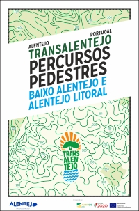
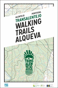
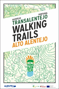
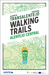
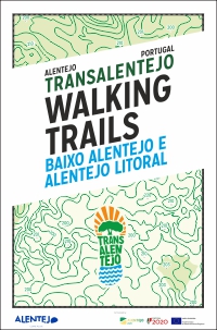
The organization of Walking Tourism in the Alentejo began at the beginning of the 21st century with the creation of some municipal networks of Walking Trails, from which the municipalities of Nisa and Mértola stand out for the quality of infrastructure at the time. Other municipalities also created some structures, but with little motivation for tourism development. In
2016 Turismo do Alentejo ERT took a global approach to the Alentejo
territory, starting to infrastructure a network of pedestrian routes
called TransAlentejo, with a first deployment in the Alqueva area.
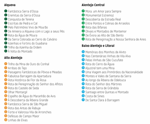
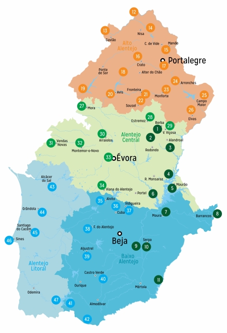
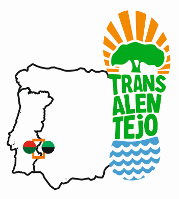
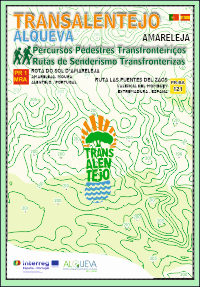
The concept of Rede TransAlentejo was to create a footprint of global organization of the Tourist Product of Hiking - also known internationally as Walking - throughout the territory of Alentejo. The footpaths created all have a common communication concept, are supported by informative guides with a harmonized image, use high quality maps on military maps and highlight points of interest of natural and cultural value. Supports communication and editing of four high quality printed guides. This is the only infrastructure tourism product that covers the entire Alentejo Region. There are a total of 50 TransAlentejo routes on the ground that are the basis for organizing the TransAlentejo Festival.
Datasheet Edition: Turismo do Alentejo ERT (2021) Authorship of the Routes: 47 Municipalities of Alentejo Technical Coordination: SAL Sistemas de Ar Livre Author of the Texts: José Pedro Calheiros Photographs: SAL and Rights Reserved Printing: InfoPortugal Cartographic Base: Army Geospatial Information Center Translations: Inpokulis
Flyers PDF (~15Mb each) Download here
|
 |
|

|
| TransAlentejo Walking Festival . Festival de Caminhadas TransAlentejo . Festival de Senderismo TransAlentejo |
| An initiative promoted by Turismo do Alentejo ERT, Portugal | An event PORTUGAL WALKING FESTIVAL by SAL |
| info@transalentejo.com | Tel (+351) 919 361 725 mobile phone network |
| Supported by Turismo de Portugal IP |

| Participation of Alentejo Municipalities, Parish Councils and Tour Operators, in collective governance |
| Support for the international promotion of ARPTA Agency for International Promotion of Alentejo |
| Consultancy and technical support for the event by SAL Sistemas de Ar Livre | www.sal.pt | sal@sal.pt |
| SAL®, TransAlentejo® and Portugal Walking Festival® are trademarks of Sistemas de Ar Livre Lda |
